
HârnQuest is a collection of Hârn articles released 4 times a year. Each issue is approximately 32 pages and includes articles about Hârnic kingdoms, cities, castles, history, creatures, and more. New Atlas Hârnica maps are also sent to HârnQuest subscribers as they are released.
NEW! Hârnquest now comes with 2 Atlas maps as well as the regular articles!
Subscribing to HârnQuest starts as low as $34.98 per release.
Not only do we make it easy for you to get the newest of all that is Hârn, we make it just as easy to get the rest of the best of Hârn.
This is because HârnQuest members may also buy Hârn PDFs at half-price!
This gives you every excuse to go on a frenzy of downloadable happiness.
The reasons are vast, the justifications plenty, the adventures are infinite, join HârnQuest!
HârnQuest 86 – Summer 2026
HârnQuest 85 – Spring 2026
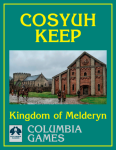
Cosyuh Keep
Written by Jonathan Davidson (18 pages, COL #5704)
Cosyuh is a royal keep in Melderyn, held for King Chunel by Sir Denyl Hilbern, Sheriff of Elorin. The sheriff ’s feudal obligations are directly to the king, but he also reports to the Chancellor for legal affairs and the Exchequer Royal for matters of taxation and revenue. Sir Denyl represents the king in the shire, ensuring that the king’s law is upheld and his revenue is collected.
Cosyuh sits on the Genin Trail, a busy trade route, and has numerous inns and craftsmen to support the traffic. Royal assizes (courts) are held four times a year. Fairs are timed to coincide with the spring and autumn moots, bringing the town maximum benefit from the many people attending the sheriff ’s courts.
This article describes the settlement’s history, government, religion, economics, and military forces. It includes color GM and player maps of the settlement, detailed descriptions and floor plans for the keep, and brief descriptions of many local craftsmen and other locations of interest. It also has a four-page expansion of the Hooded Raven Inn, a large establishment of ancient origins with a clientele that ranges from merchants and scholars to teamsters and pilgrims.
This article supplements other Columbia Games products, including Kingdom of Melderyn and a number of nearby settlement articles.
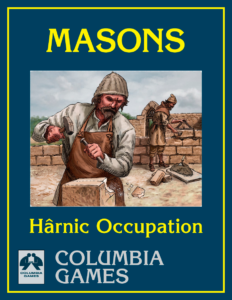
Masons’ Guild
Written by Jonathan Davidson, Rick Ivansek, Brent Bailey (14 pages, COL #4818)
This article describes the organization and activities of the Masons’ Guild and its place in Hârnic society. Includes information about masonry as an occupation, legal and financial matters, and topics related to the establishment and operation of workshops and quarries. Two sample guild locations are detailed, a quarry that produces ornamental limestone and the workshop of a mason who specializes in statuary, architectural sculpture, and the production of lime mortar.
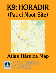
Atlas Hârnica Map K9: Horadir
Map by John Southgate (COL #5000-K9)
This Atlas Hârnica map covers the western central coast of the Horadir region, home to the nomadic Hodiri tribal nation. The map also covers the southeastern corner of Belna Island in the Gulf of Ederwyn.
This atlas map supplements other Columbia Games products, including HârnMaster Barbarians.
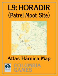
Atlas Hârnica Map L9: Horadir
Map by John Southgate (COL #5000-L9)
This Atlas Hârnica map covers the central core of the Horadir region, an extensive woodland plain in the southeast of Hârn. The region is dominated by the Hodiri tribal nation but claimed as Dyriamarch by the Melderyni Earl of Elorin, who occasionally sends scouts and punitive expeditions into the region from Laket. This atlas map supplements other Columbia Games products, including HârnMaster Barbarians.