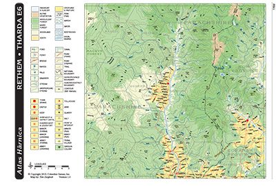
Atlas Hârnica map E6 covers the eastern edge of the Kingdom of Rethem and the western edge of the Thardic Republic. The region includes the settlements of Menekai and Themeson, which are held by rival fighting orders dedicated to Agrik, dark god of fire and war. Other major settlements are Senun, an important trading town with the only bridge over the Gomisen River, and Imrium, the center of the most important salt-producing region on Hârn. The Rayesha Mountains, site of numerous mines and home to many dangerous creatures, dominate the eastern part of the region, while the thick forests to the west are home to the fierce Kubora tribesmen.
Click here to expand the map.